Here you can see a full list of geospatial consultancy services offered
by Red Baobab. Get in touch if you want to know more.
With such a large variety of formats
for geospatial data, combining these different data sources in a
single dataset has never had an easy solution. Also because the
source data often lacks much of the structure that is required for
many GIS installations. But now there are software solutions,
several of them open source, which directly address these issues and
can take a lot of the pain out of dealing with the restrictive
import/export options of some proprietary GIS. Having seen these
issues from both sides I can offer help. Whether it is taking CAD or
Lidar data and transforming it to match a complex network data structure, or whether it is simplifying that data to display on an open web map I can help.
I have worked on
projects for gas, electricity and water networks over the last 30
years, and have a clear
understanding of the requirements for network topology and
structure. I also have experience of working with multiple users in a version controlled environment, developing and applying quality assurance routines and managing imports of data collected in the field.
Telecomms GIS has been
the focus of much of my GIS career. Applications development to
meet user requirements, modeling not just physical network
representations but also logical network views and schematic
outputs. I am familiar with the complexity of handling internal
plant combined with an external network view, and the hierarchy of
equipment and infrastructure connectivity this involves.
I also have experience of large scale data entry and design projects.

Making sense of your data, maximising usability for long
term usage.
Working with this GIS software
suite from the
first half of the 1990's I have a deep understanding of how to make
it work for a variety of clients. I can help with customisation, administration,
version upgrades, training courses, data modelling, import and
export, workflow processes for design or as-built import. I have
worked on Smallworld projects for telecomms, gas, electricity and
water networks.
I have extensive
experience of delivering training courses for GE Smallworld
software, covering topics such as using the software, applications
development with the Magik programming language, data modelling,
and administration/configuration of the GIS installation. Getting
new starters up to scratch in a short time frame.
In addition I can offer bespoke training courses and workshops for other software and topics, including open source options such as QGIS.
Training courses can be presential or done remotely, according to your requirements. Get in touch for more information.
No off the peg GIS is
ever going to satisfy all the requirements of a
customer. Applications development or customisation is a
fundamental part of making a new system work for different groups
of users within an organisation. Always done with an eye on maintaining
the sustainability of the GIS installation and reducing the pain
when it comes to migrating to a later version.
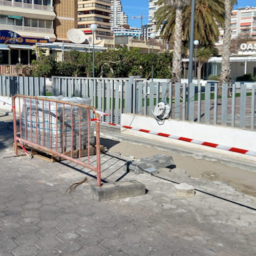
The network assets may be underground, but they can still
be mapped. Know where everything is before digging.
Even a GIS that comes with a
built-in data model will still require modifications to make it
work for the needs of users. Each organisation has its own data
which needs to be included and I can help to either integrate this
within an existing data model, or to model requirements from scratch
if needed.
No GIS installation
lasts forever, but the task of moving data and applications to a
new system can be complex and daunting. I have the experience of
managing data imports and exports together with an understanding
of minimising system down-time to make it possible. Time moves on,
but not all GIS software keeps up, sometimes the only way forward is to
consider a newer option adapted to the mobile device first environment.
Upgrading to a new
version of a GIS should not be frightening, if planned for
correctly. I have worked on major upgrades and have valuable
experience in managing the testing and revision process
involved. It is also an opportunity to reconsider what parts of
the GIS your users are really making use of and taking advantage
at the same time to
remove redundant functionality or data structures.
Thank you for visiting, here are the contact details if you
want to get in touch:
Red Baobab SL
Calle Cruz Verde 24, 2º izda,
28004 Madrid,
SPAIN
Email: info@redbaobab.com


